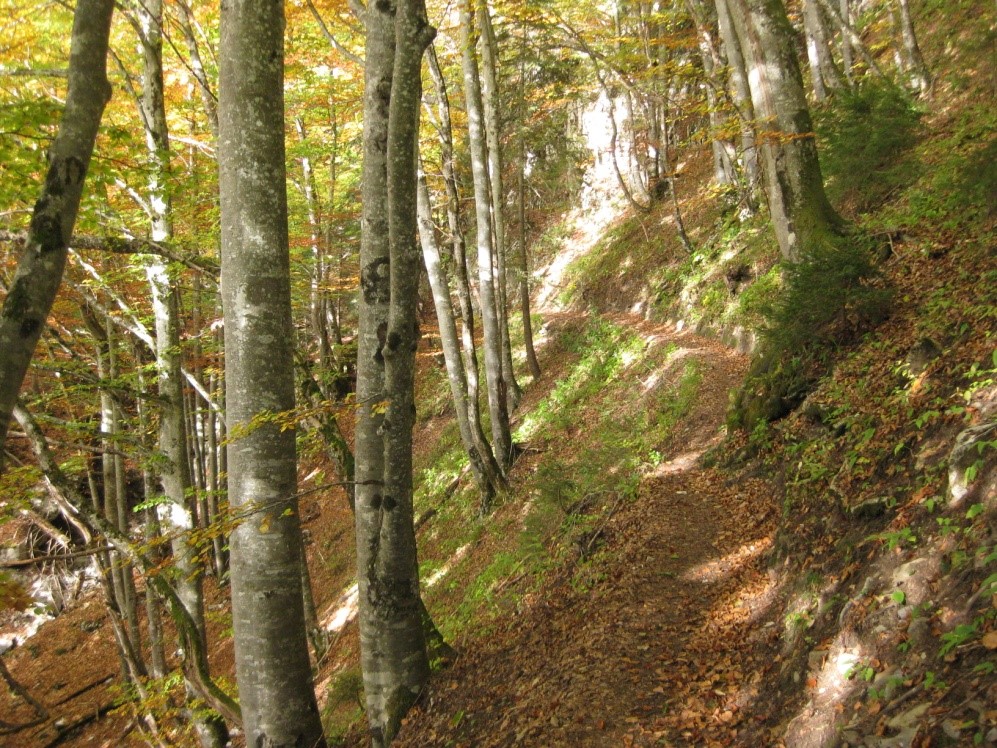
The Bearded Vulture Path to the Doran Refuge
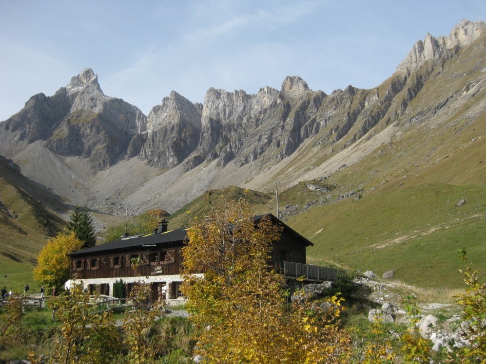
Doran Refuge
Wild and shaded path far from off-road vehicles.
Plan Chevalier Car Park (this is the last car park for cars. Despite the black top you cannot park further up).
Plan Chevalier Car Park (this is the last car park for cars. Despite the black top you cannot park further up).
The climb starts on a broad trail. Go right at the first crossroads. The trail levels out until it reaches a tarmac road along which you walk for a few minutes as far as the village of Outredière. Follow the access road to the houses on the right, then at the next fork go left the dirt track which rises through the fields and then enters the forest. The rise is stiff but there are beautiful opportunities to rest and admire the views down onto the Arve river valley, with the Mont Blanc in the distance.
As you approach the chalets in Prés d’Outredière, the trail right-angles left on the edge of a field and continuous by a narrow path which crosses several brooks and climbs in tight zigzags through the maples to the foot of the cliff.
From here you have a good view of the Doran waterfall.
A short traverse across the mountainside brings you to the Torrent de Dière bridge (reservoir).
WARNING: this bridge is dismantled in winter. There is an Open/Closed sign as you leave the hamlet of Outredière.
Shortly after the footbridge, the path continues on the right up with some timber steps. You have almost arrived Doran combe and the chalets.
For the return, use the off-road vehicle trail.
On the plateau near the Doran Refuge, turn left to get to the Plan Chevalier Car Park by through the forest. (Return time: 90 minutes)
Outstanding feature
> Heritage/Fauna/Flora:
Re-introduction of the bearded vulture in the early 2000s.
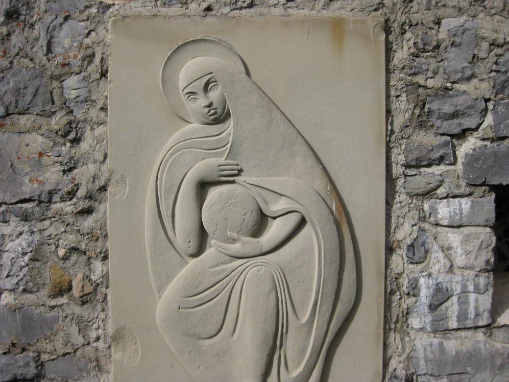
Very pretty small Chapel on the site
> Impossible route in winter!
This route is impossible in winter. On your way up check the Open/Close for the footbridge you need to take to get to the top.
As you approach the chalets in Prés d’Outredière, the trail right-angles left on the edge of a field and continuous by a narrow path which crosses several brooks and climbs in tight zigzags through the maples to the foot of the cliff.
From here you have a good view of the Doran waterfall.
A short traverse across the mountainside brings you to the Torrent de Dière bridge (reservoir).
WARNING: this bridge is dismantled in winter. There is an Open/Closed sign as you leave the hamlet of Outredière.
Shortly after the footbridge, the path continues on the right up with some timber steps. You have almost arrived Doran combe and the chalets.
For the return, use the off-road vehicle trail.
On the plateau near the Doran Refuge, turn left to get to the Plan Chevalier Car Park by through the forest. (Return time: 90 minutes)
Outstanding feature
> Heritage/Fauna/Flora:
Re-introduction of the bearded vulture in the early 2000s.
Very pretty small Chapel on the site
> Impossible route in winter!
This route is impossible in winter. On your way up check the Open/Close for the footbridge you need to take to get to the top.
Les étapes du parcours
Book your accommodation
for this hike
stage 1
Refuge de Doran
Departure arrival825 m
Arrival altitude1495 m
Elevation gain/loss670 m
Time2h30 environ
DifficultyDifficult
Season
For further information